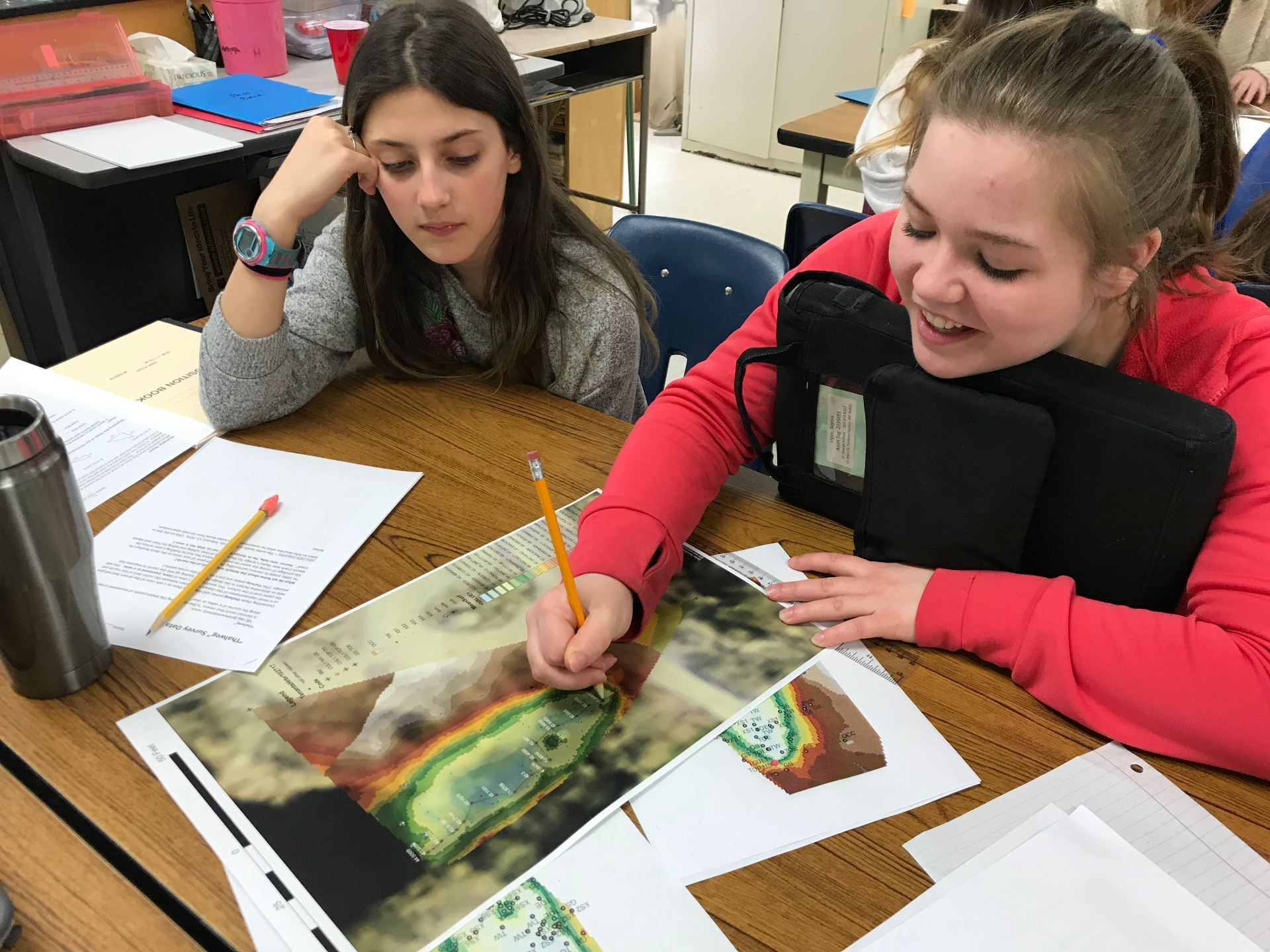
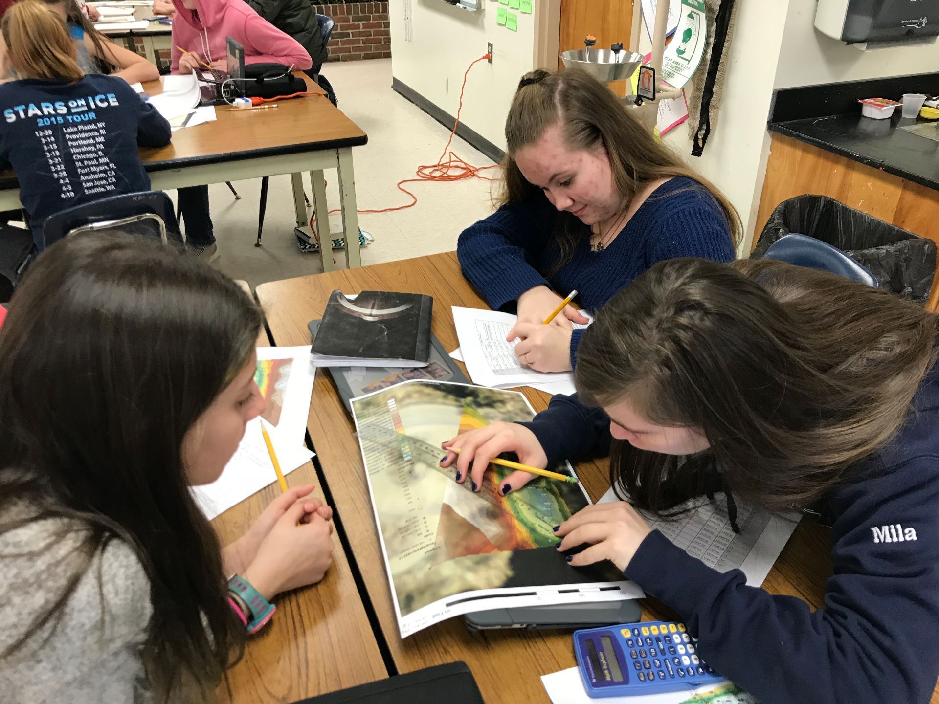
We invited Ben to come to our classroom to help us interpret the survey data students helped collect back in October. The data had been processed by Ben and he was able to show us visually in a 3-D view just what the contours of the stream bed looked like. We made measurements from the printed contour map and determined the elevation changes and distance between each of the survey points. This allowed us to create a longitudinal cross-section graph of the stream bed. We found out that although the straight line length of the stream is about 75 feet, the water course is more than 100 feet with several twists, and the drop in elevation between the outlet of the marsh and the bottom of the upstream end of the culvert is just over 3 feet. 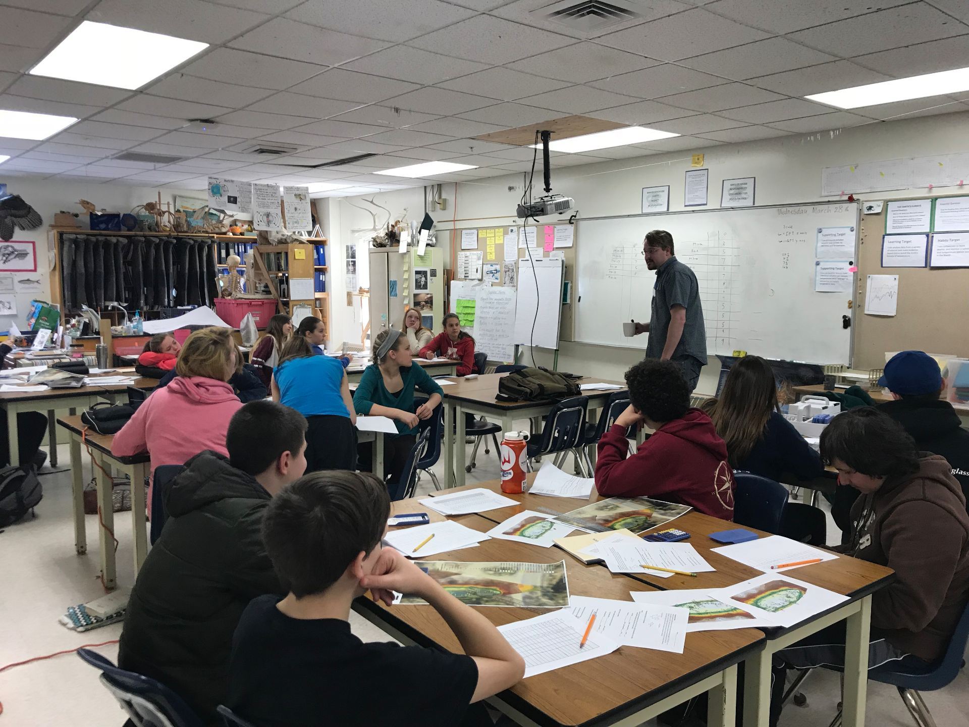
 .
. 
The Stream Restoration / Alewife Project
St. George School, Tenants Harbor Maine
